The 98 Million-Gallon "Trickle": Stormwater Conservation Projects May Help L.A. Become Self-Reliant

The trickle that runs through the L.A. River nearly year-round is a joke to many Angelenos and outsiders who would say it's not really a river. But when it rains, the river's torrent proves those naysayers otherwise. The city's increasing need for water is now pushing lawmakers and water agencies to use the 51-mile river's function as a flood control channel to their advantage by converting it to a center for stormwater capture, one revitalization project at a time.
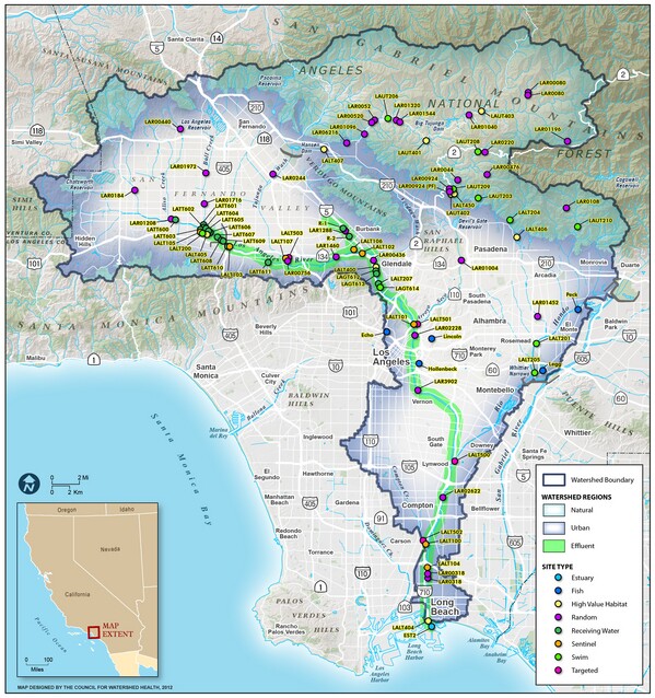
The Los Angeles River Watershed covers an area of more than 834 square miles, from the Santa Monica Mountains in the east, to the San Gabriel Mountains in the west, and follows the path of the river south toward the ocean in Long Beach. Most of the watershed is highly developed with impermeable surfaces that prevent runoff from penetrating into underground aquifers. The river's function has largely been to drain the watershed by flushing storm water and dry weather runoff out to the ocean.
Although drier days may see river water at a trickle, it carries more than 98 million gallons a day — water wasted as it drains out to the Pacific; and during times of peak flow, the river carries more than 118 billion gallons a day — enough water to supply 800,000 homes in a year.
However, Los Angeles currently imports 85% of its water and after years of reluctance to wean itself off imported water sources, the city is being forced to find innovative ways to provide its own water. The price of imported water from the Bay Delta and the Colorado River is becoming increasingly expensive and less reliable due to pumping restrictions and shortages. In light of the severe drought, other suppliers are nearly cutting Los Angeles off. The State Water Project announced it would limit deliveries of water in 2016 to 10% of the amount requested by agencies throughout California, including Los Angeles.
Throughout the years, there have been many different visions for what the L.A. River could be — a restored habitat, a recreational zone, a center for commerce and real estate and an alternative transportation corridor. And many of these river revitalization plans have taken water wise approaches to their projects.
The Los Angeles River Watershed is highly urbanized, making it difficult to build new large-scale water conservation projects, but river projects have provided new opportunities for conservation through low-impact development projects — small scale natural drainage features designed to slow, clean, infiltrate and capture storm water and urban runoff.
Green infrastructure projects have been integrated into many river projects, including the habitat restoration planned near the Rio Hondo Confluence (Parque de Dos Rios) in South Gate. It will provide a large vegetated area that will infiltrate runoff and aid in groundwater recharge. Riparian buffers, like those along the river near Atwater Village, are strips of vegetated land adjacent to the river with shrubs and trees along the river's banks that capture sediments and pollutants and aid in slowing down the water's flow to allow more water to percolate into the ground. Bioswales have been implemented throughout Marsh Park in Elysian Valley, which naturally cleanses contaminated water through a filtration system of sand, rock and clay before entering the river.
With a number of new parks, habitat restoration projects and developments outlined in river revitalization plans throughout the 51 miles of the river, one could look at the potential of the river as being a 51-mile center for environmentally beneficial water conservation and reclamation projects.
Climatologists are predicting longer dry and wet seasons, leaving Los Angeles susceptible to periods of water shortages and overabundance without the infrastructure to capture it all. Not willing to succumb to its water-insecure fate, the city is fully committing to improving its water self-reliance.

Just last year, Mayor Garcetti issued a directive that called for a 50% reduction in the Los Angeles Department of Water and Power's (LADWP)purchase of imported potable water by 2024 and the creation of an integrated water strategy that increases local water supplies. And in August, the LADWP unveiled its Storm Water Capture Master Plan (SWCP), a planning document that outlines the agency's strategies to implement storm water projects and programs over the next 20 years.
The SWCP calls for the need of the LADWP to cooperate with others on projects that will "contribute to a more reliable and sustainable local water supplies." This can help move many river projects forward and vice-versa because of the cost-share those partnerships would allow.
The SWCP recommends cooperating and offering financial support to organizations like the Los Angeles River Revitalization Corporation, the River Project and Friends of the Los Angeles River in the implementation of stormwater capture projects.


Although the river is looking toward a massive overhaul within the next couple of decades, the Army Corps of Engineers (ACOE) is looking to improve the river's existing water infrastructure. The dams along the river capture and hold water during storm events that is then diverted toward nearby spreading grounds, controlled by the Flood Control District, that allow water to percolate into groundwater basins. From October 2014 to September 2015, Hansen Spreading Grounds recharged 922 acre-feet of water, Tujunga Wash recharged 414 acre-feet of water and the Rio Hondo Spreading Grounds recharged 7,702 acre-feet of water.
The ACOE is currently working to make modifications to the Hansen Dam which would allow it to hold more water during storm events that would maximize groundwater recharge when released to spreading grounds. They are also looking to increase the amount of water held at the Whittier Narrows Dam by four feet.
Could it be possible for a city that abandoned its own waterways to transform a 51-mile river into an urban green space that conserves water for it's growing population? Sounds like a lofty idea, but it looks like its definitely on its way.


